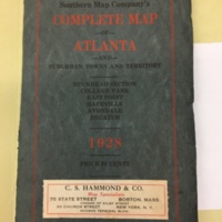
Southern Map Company's Complete Map of Atlanta and suburban towns and territory
Dublin Core
Title
Southern Map Company's Complete Map of Atlanta and suburban towns and territory
Subject
A full, black, white, and red map of Atlanta, including these neighborhoods: Buckhead Section, College Park, East Point, Hapeville, Avondale, and Decatur
Description
A fold-out large scale map with electric car lines and city boundaries drawn in red, and an index of streets in the margins. Railroads are also drawn in and labeled.
Creator
C.S. Hammond + Co.; Map Specialists
Source
call number: MAP 1928 W3, in Hargrett Special Collections Library
Publisher
C.S. Hammond + Co.; Map Specialists
Date
1928
Format
physical object; printed map; fold out book
Language
English
Type
map/book/printed text
Identifier
call number: MAP 1928 W3
Coverage
Atlanta and suburban towns and territory in 1928
Citation
C.S. Hammond + Co.; Map Specialists, “Southern Map Company's Complete Map of Atlanta and suburban towns and territory,” Write@UGA: History and Horizons, accessed May 14, 2024, https://hyperglyphics.net/omeka/items/show/23.
